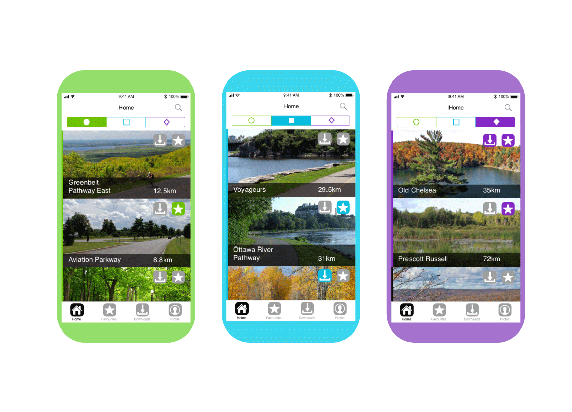
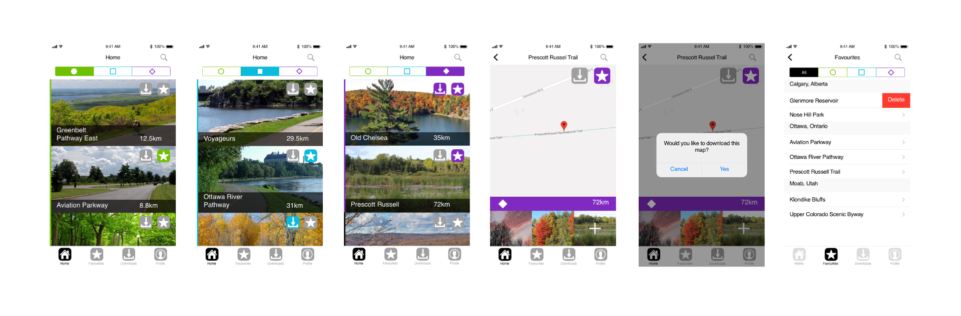
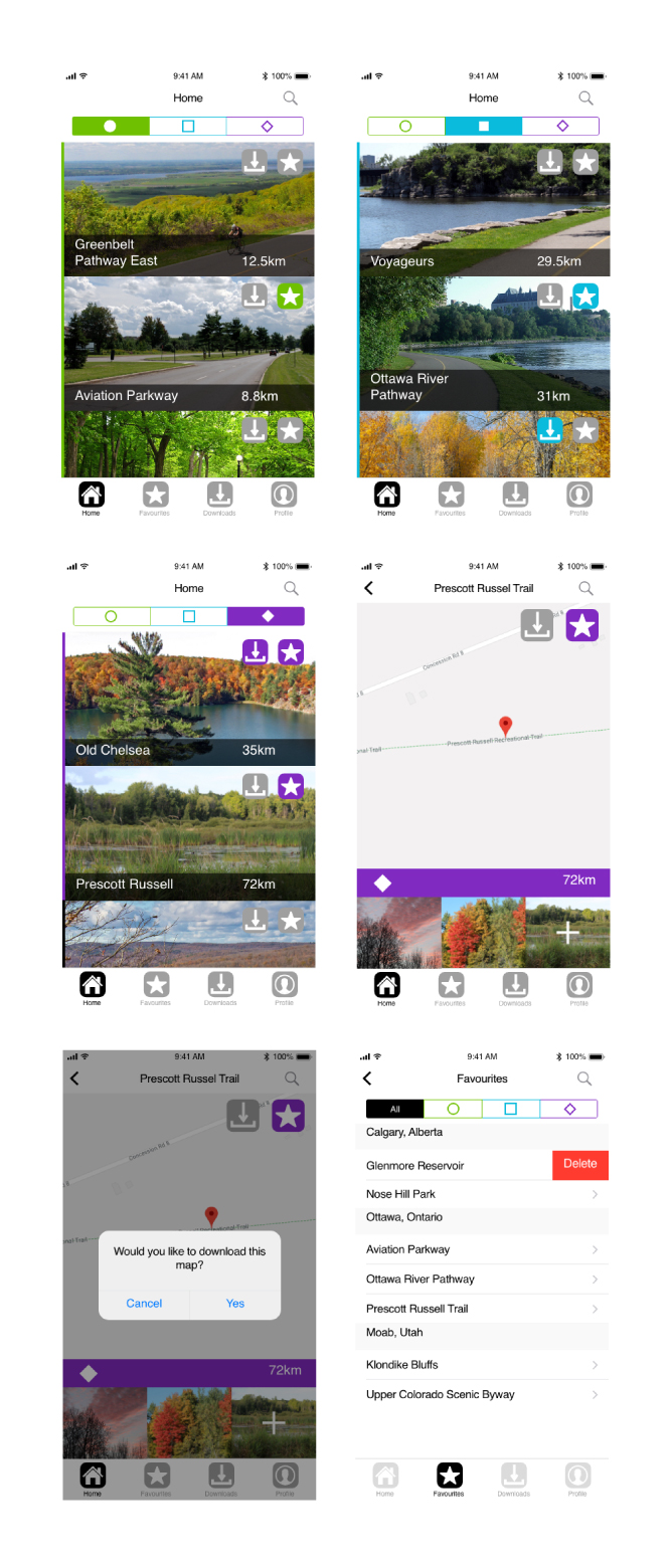
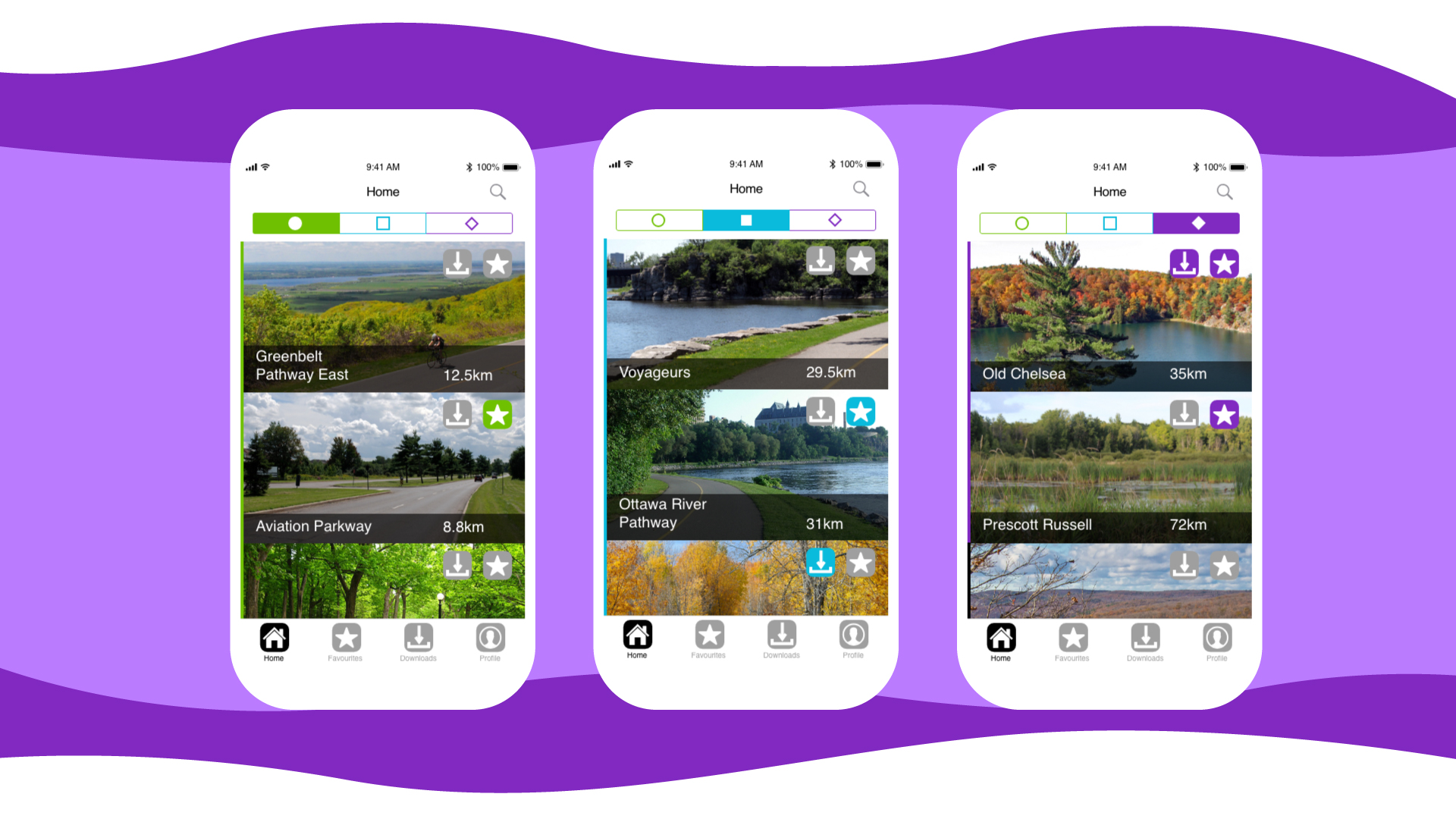
Trail

This app allows users to find various trail maps to download and use as they please. It is targeted towards people who are looking to download maps to use offline. The app has a search function to find maps all over the world, and uses location services to find trails nearest to the user.

A collection of images showcasing the Trail App.

Research

The research of this app started with a review of 5 similar applications and looking into competitive analysis. By looking at the competition in the cycling / trail app market, I discovered that many are used by GPS and data through cell phone.

Problem

Many cycling / trail information applications offer helpful services and maps to users, but they don’t usually offer offline download.

Solution

Our problem can easily be fixed by allowing the user to download maps of trails so that they are not left in the dark in areas where there is likely no cell phone service.

Prototype (December, 2017)

The design of this app started with researching various ways to tell users the difficulty of trails. I decided to use the general symbols that you see on skii and hiking trails, because it is an already known marker. I assigned the symbols colours similar to the ones they usually have and created cards with distance information. This application also allows the users to check and uncheck various maps they have downloaded if they do not want them anymore.

User Testing (December, 2017)

During this round of testing, users mostly enjoyed the experience with the application. They reported that they liked the use of photos and the ability to add your own later as well as the use of lists in the directories. The biggest issue was with the size of the Favourite and Download buttons on the tops of the trail pages. There were also comments about changing the typography to be more clearly understood.

Users also reported friction in the difficulty tab bar at the top of the page. It was a bit difficult to get the tabs to switch over.

What I Would Do Next (November, 2018)

The next thing I would do with this application is look at finding a new way to icorporate the typography on the trail pages. There is not a lot of information to give the user at the moment, so adding more specs about the area, possibly even weather warnings if there are any or park warnings would be helpful to the user.

I would also look at changing the difficulty tab bar to include the words "Easy", "Medium", and "Difficult" to accommodate users who might not be familiar with the trail symbols. It will be more inclusive for everyone, from beginners to advanced.

Ottawa International Animation Festival

The Ottawa International Animation Festival is the world's 2nd largest animation festival. In 2018, it was held from September 26-30 and showcased over 250 animated films from around the world.

Explore

Hey there!

My name is Tori, and I have been interested in helping others and solving problems my whole life. I am a firm believer that we can always strive to make things better for others. My goal is to make people feel good and have great experiences.

An illustration of myself.